
Bathymetric surveying
Pacific Infrastructure Group provides bathymetric surveying for ports, waterfront and water-infrastructure projects. We plan the capture of submerged terrain and prepare depth information that can be considered alongside land survey, site conditions and design requirements.
Understanding the site below the water.
The bed surface and the adjoining land are connected parts of a marine or water-infrastructure site. Pacific defines survey coverage and references around the questions the project needs to answer, coordinating field arrangements and preparing usable depth datasets. Clear reference systems and limitations help the team bring that information into assessment and design alongside other spatial and engineering inputs.
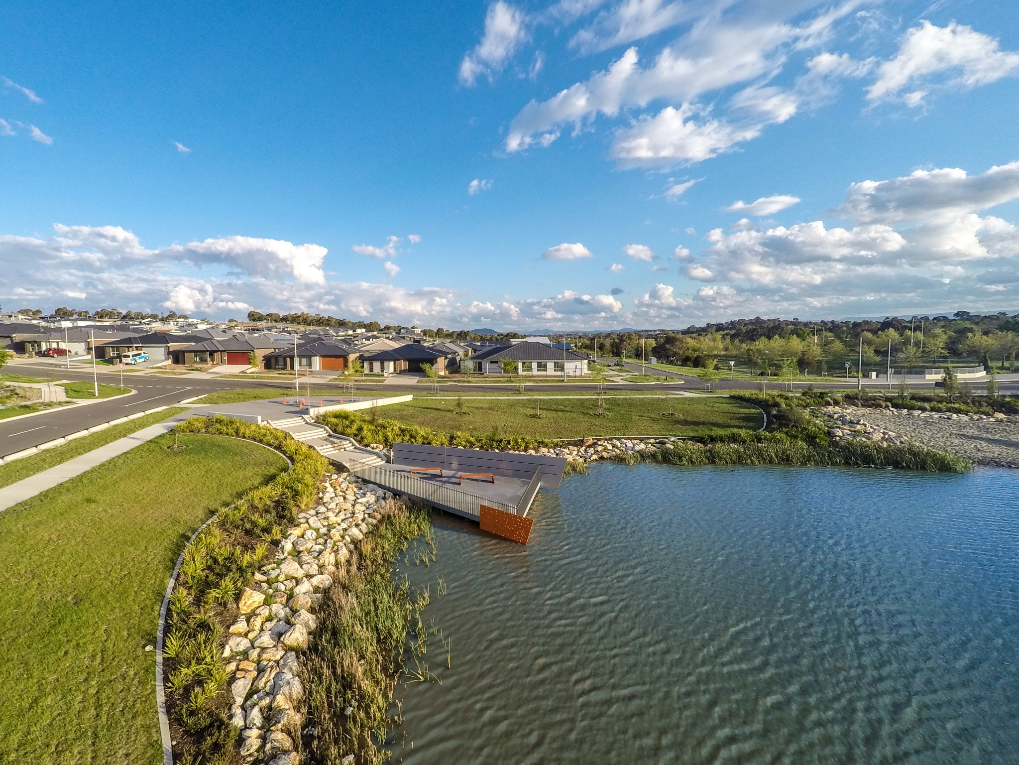
Landscape architecture · Urban design
What we do
Our capabilities
We connect survey planning, field coordination and depth information with the project’s assessment or design needs.
Survey planning
We establish the area, reference system and information requirements for the proposed survey. Considering the intended use at the outset helps define the coverage and the relationship with existing land or spatial datasets.
Field coordination
We coordinate the capture requirements and practical site arrangements for the survey. The programme considers the location and related project inputs so the resulting information can be brought into the wider assessment.
Depth datasets and reporting
We prepare depth and bed-surface information with the references and limitations documented. This helps project teams interpret the submerged terrain and understand how it relates to other site information.
What you receive
Deliverables
Bathymetric outputs should make the surveyed surface and its spatial reference understandable to the project team.
The agreed coverage, references and capture requirements. It gives the field and project teams a common understanding of the information needed.
Datasets describing the surveyed submerged terrain. They support the relevant marine, waterfront or water-infrastructure assessment and design tasks within their stated purpose.
An account of the survey references, coverage and limitations. It provides context for interpreting the data and combining it with other project information.
Working with Pacific Infrastructure Group
Value for your project
Land and water connected
Consider submerged terrain alongside the adjoining land and infrastructure, rather than as an isolated dataset.
Coverage suited to the task
Define the survey around the project questions and the information needed to answer them.
Information with context
Keep references and limitations visible so depth data can be used consistently by the wider team.
Other services
your project may need.
Talk to Pacific Infrastructure Group
Discuss your
requirements
Tell us the location, survey area and intended use of the depth information. Existing land survey or design information will help us define the requirements.
This site is protected by reCAPTCHA.