Our services

3D laser scanning

Pacific Infrastructure Group provides 3D laser scanning for existing buildings, sites and infrastructure. We plan capture around your information needs and prepare registered point clouds and agreed survey outputs for design coordination and documentation.

Service overview

A clearer record of existing conditions.

Designing around an existing asset begins with understanding its geometry and interfaces. Pacific scopes scanning coverage and the intended outputs around the questions the project team needs to resolve. We bring captured data into a registered point cloud with quality and reference information, giving designers a basis for reviewing existing conditions. Any subsequent drawing or model production is defined around the project’s required use.

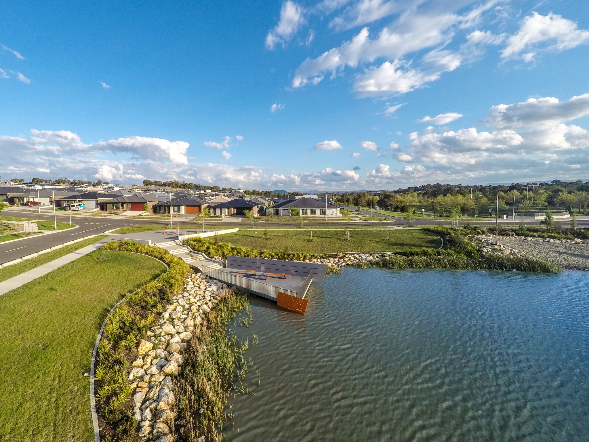
lake

Landscape architecture · Urban design

What we do

Our capabilities

Our capabilities connect capture planning, point-cloud preparation and the information needed for design use.

We review the asset, access and intended design tasks to define the scanning coverage and required outputs. A clear brief helps focus capture on the geometry and interfaces relevant to the work.

We bring scan data together into a registered point cloud and consider the references and quality required for its intended use. This gives the project team a coherent spatial record of the captured conditions.

We prepare the point cloud and agreed survey outputs with their references and limitations. Where drawings or BIM/Revit models are needed, the production requirements are defined separately so the team understands what information each output contains.

What you receive

Deliverables

Scanning deliverables should distinguish the captured evidence from any drawings or models developed from it.

The coverage, access and output requirements for the scanning work. It aligns capture with the existing-condition questions that matter to the project.
Working with Pacific Infrastructure Group

Value for your project

01

Existing conditions understood

Give the design team a spatial record of the asset and interfaces relevant to its work.

02

Purposeful capture

Focus the survey on the information needed for the next design or documentation decision.

03

Clear output expectations

Distinguish scan data from derived drawings and models so the team knows what it is receiving.

Talk to Pacific Infrastructure Group

Discuss your
requirements

Tell us about the building, site or asset and how the scan information will be used. Share access constraints and any drawing or model requirements.

This site is protected by reCAPTCHA.